Équipement et logiciel pour des études géophysiques: conception, fabrication, soutien, fourniture
Other methods
Exporting XY-slice to Google-earth kml file (16.01.2022)
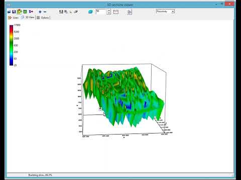
Print preview dialogue review (8.12.2021)
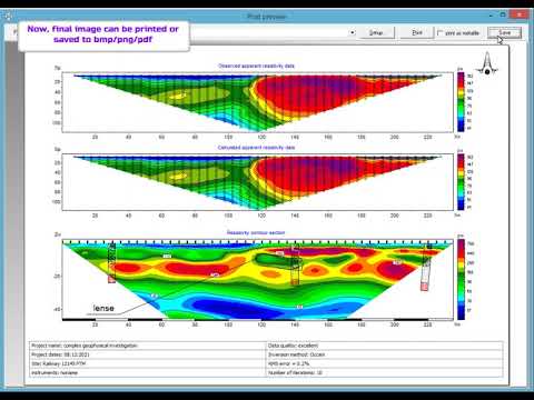
Color scale and contours settings in Zond products (01.12.2021)
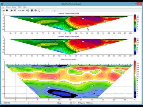
Axis settings dialogue in Zond software products (29.11.2021)
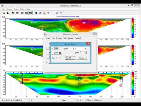
Creating and editing of borehole data in Zond software products (29.11.2021)
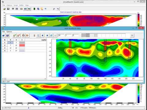
Incorporating of additional elements into interpretation results (24.11.2021)
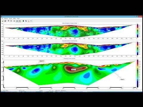
New functions for mesh¶meters importing from mod2d/mod3d files in Zond 2D/3D products. (04.11.2021)
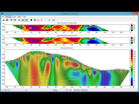
Speed up of data importing in Zond software products (13.09.2021)
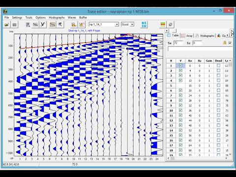
Polygonal modeling in Zond software products (10.05.2016)
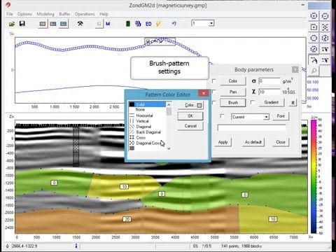
Joint inversion of seismic and gravity data (5.11.2015)
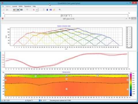
Using of boreholes data in zondres2d (22.02.2015)
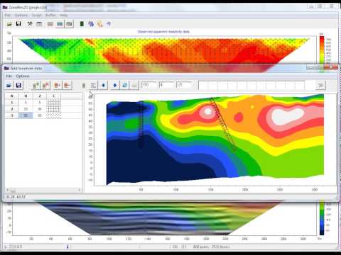
Modeling&Inversion for test model (research problem) (24.01.2015)
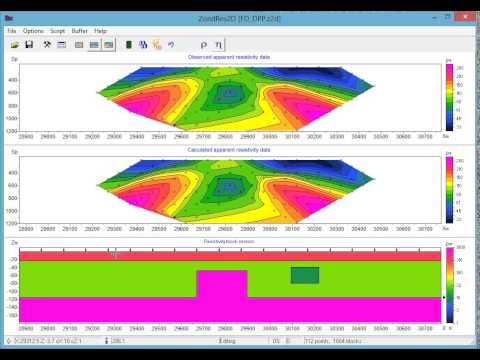
Fast transformation of potential fields to section (11.11.2014)
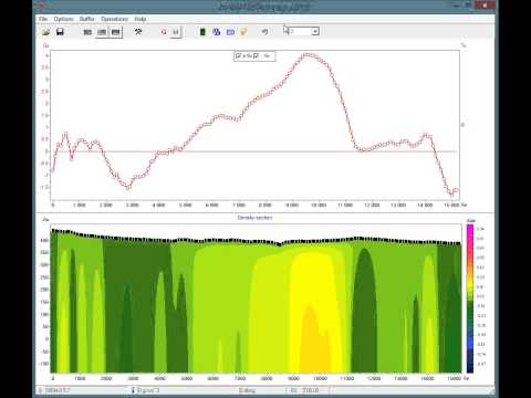
Inversion for arbitrary layered model in ZondRes2D (24.10.2014)
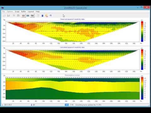
ZondRes2D. Last update features. (13.10.2014)
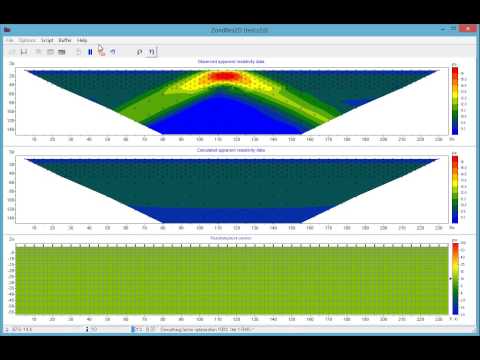
Packet processing of data files in ZondRes2d (19.05.2014)
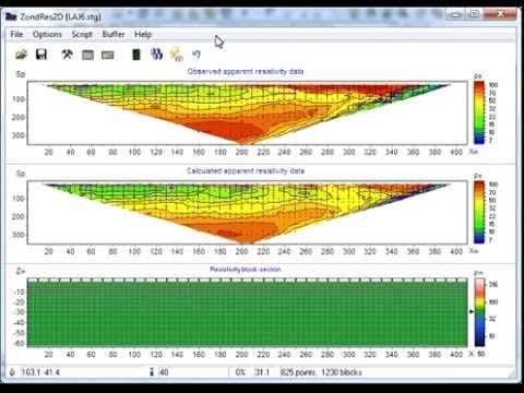
ERT inversion with GPR background (20.03.2014)
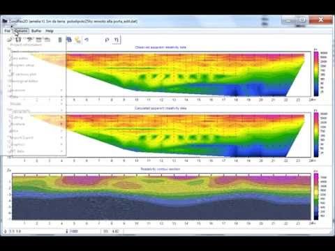
2d resistivity inversion with apriori constraint (17.03.2014)
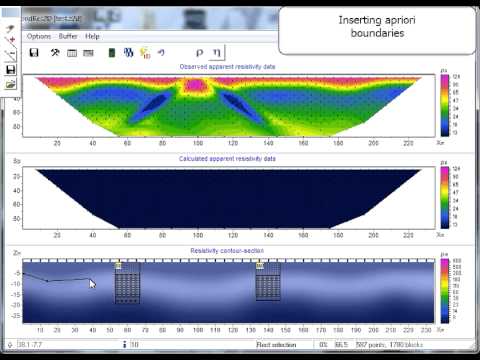
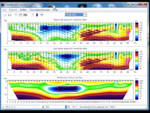
Resistivity imaging for monitoring of storage conditions (25.06.2013)
